WebGL in GIScience
This website presents examples of visualization and analysis of different geodata types using the new HTML5 WebGL technology.
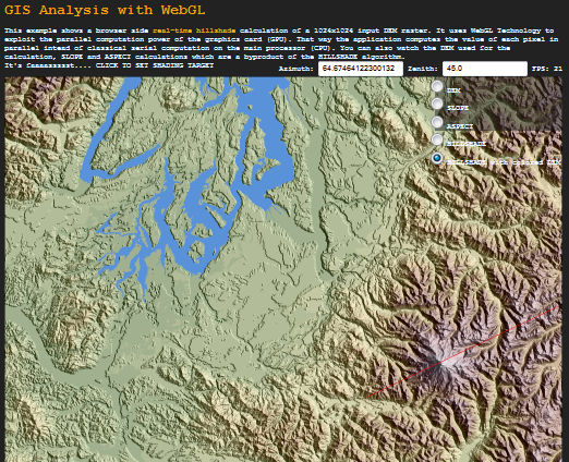
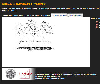
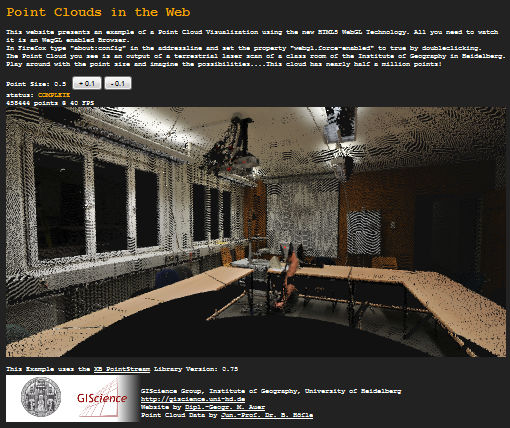
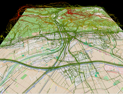
To experience the new possibilities of webGIS applications using WebGL just click on the examples below.
All you need to watch it is an WebGL enabled browser (runs best on Mozilla Firefox).
In Firefox type "about:config" in the addressline and set the property "webgl.force-enabled" to true by doubleclicking.

GIScience Research Group, Institute of Geography, Heidelberg University
http://www.geog.uni-heidelberg.de/gis
Website by Dipl.-Geogr. M. Auer & Andreas Kiefer
http://www.geog.uni-heidelberg.de/gis
Website by Dipl.-Geogr. M. Auer & Andreas Kiefer